Environmental Carrying Capacity (ECC) Assessment of Eco-Sensitive Zone: Manali Wildlife Sanctuary (MWS) Himachal Pradesh.
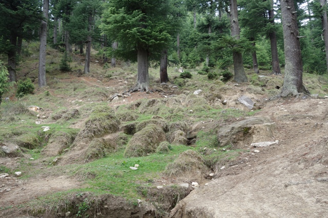
This study evaluates the vulnerability, risk and pressure on Manali Wildlife Sanctuary (MWS) in Himachal Pradesh. Monitoring tourism activities, local concern, land use and land cover and other bio-geophysical parameters in the sanctuary to know the status and need of management. The study highlights major issues such as solid waste, soil erosion, tourism activities, forest fire and climate related challenges such as landslide. The study analyzed geographical information of study area, rainfall changes, LULC, water, soil, air pollution to assess the environmental carrying capacity of Manali wild life sanctuary. The study reveals that ecotourism activities in wildlife sanctuary areas are primarily driven by local people, with tracking being the main activity during tourist seasons. Solid waste issues and garbage generation from outer area of the sanctuary and identified as potential threats to the sanctuary's biodiversity in future. Soil quality assessment using empirical method-based analysis revealed that 12.2 km2 areas with high vulnerability due to natural causes, while 22.13 km2 of wildlife sanctuary areas have low vulnerability.
This study evaluates the vulnerability, risk and pressure on Manali Wildlife Sanctuary (MWS) in Himachal Pradesh. Monitoring tourism activities, local concern, land use and land cover and other bio-geophysical parameters in the sanctuary to know the status and need of management. The study highlights major issues such as solid waste, soil erosion, tourism activities, forest fire and climate related challenges such as landslide. The study analyzed geographical information of study area, rainfall changes, LULC, water, soil, air pollution to assess the environmental carrying capacity of Manali wild life sanctuary. The study reveals that ecotourism activities in wildlife sanctuary areas are primarily driven by local people, with tracking being the main activity during tourist seasons. Solid waste issues and garbage generation from outer area of the sanctuary and identified as potential threats to the sanctuary's biodiversity in future. Soil quality assessment using empirical method-based analysis revealed that 12.2 km2 areas with high vulnerability due to natural causes, while 22.13 km2 of wildlife sanctuary areas have low vulnerability.
The air quality was focused on monitoring parameters such as Black Carbon, SO2, NO2 and AOD. The mean value was calculated using Google earth engine. The value 3.3829e-07 for black carbon data from MEERA-2 indicates a very low concentration of black carbon in the region. The value was further converted into ng/m3 which was approximately 0.33829ng/m3. The water Quality assessment focused on Total Dissolve Solids (TDS), Alkalinity, Total Hardness, Ammonia, Dissolved Oxygen, Nitrate, Sulfate, and Phosphorus. The results showed that the water quality was within permissible limits, indicating safe stream water. However, the region faces high vulnerability due to soil degradation and soil loss due to natural cause like erratic rainfall. High vulnerability areas, including 23.70 km2, are sensitive to the sanctuary, while low vulnerability areas, 9%, have no vulnerability. The complex topography, steep slopes, and dense vegetation make it difficult for intervention and catchment treatment. The region faces land degradation, soil erosion, and landslides. The study found that forest fire incidences were mostly away from the sanctuary.